GARMIN
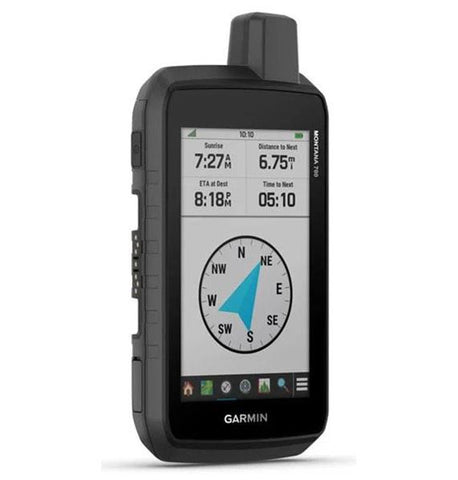
GPSMAP 66st Multisatellite Handheld w/ Sensors & TOPO Maps
GPSMAP 66st Multisatellite Handheld w/ Sensors & TOPO Maps
Whether you’re hiking, hunting, climbing, geocaching, kayaking or mountain biking, explore more by using this premium, rugged handheld with a 3” color display and preloaded maps.
PRODUCT FEATURES:
MULTI-GNSS SUPPORT
Access multiple global navigation satellite systems (GPS, GLONASS and Galileo) to track in more challenging environments than GPS alone.
ABC SENSORS
Navigate every trail with ABC sensors, including an altimeter for elevation data, barometer to monitor weather and 3-axis electronic compass.
BIRDSEYE SATELLITE IMAGERY
Download high-resolution photo-realistic maps directly to your device without an annual subscription. Easily find trails, pick stand locations, find parking, create waypoints and more.
PRELOADED TOPO MAPS
Preloaded TOPO U.S. and Canada maps show you terrain contours, topographic elevations, summits, parks, coastlines, rivers, lakes and geographical points.
ACTIVE WEATHER
When paired with your compatible smartphone, you can get real-time forecast information and live weather radar, so you’re always aware of the surrounding conditions.
In The Box:
GPSMAP 66st
Access to Birdseye Satellite Imagery
USB cable
Carabiner clip
Documentation